National Cycle Route 6
Introduction
The photograph on this page of National Cycle Route 6 by Oxymoron as part of the Geograph project.
The Geograph project started in 2005 with the aim of publishing, organising and preserving representative images for every square kilometre of Great Britain, Ireland and the Isle of Man.

There are currently over 7.5m images from over 14,400 individuals and you can help contribute to the project by visiting https://www.geograph.org.uk
National Cycle Route 6
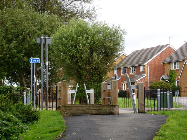
Image: © Oxymoron Taken: 4 Sep 2008
For a short section south of Bulwell NCN 6 crosses 3 or 4 residential roads in about 200 metres; each crossing is marked by a pair of restrictions, examples of which are shown in this photo.
Images are licensed for reuse under creativecommons.org/licenses/by-sa/2.0
Image Location


Leaflet Map data © OpenStreetMap
Latitude
52.985598
Longitude
-1.185618