Claverton Down
Introduction
The photograph on this page of Claverton Down by Derek Harper as part of the Geograph project.
The Geograph project started in 2005 with the aim of publishing, organising and preserving representative images for every square kilometre of Great Britain, Ireland and the Isle of Man.

There are currently over 7.5m images from over 14,400 individuals and you can help contribute to the project by visiting https://www.geograph.org.uk
Claverton Down
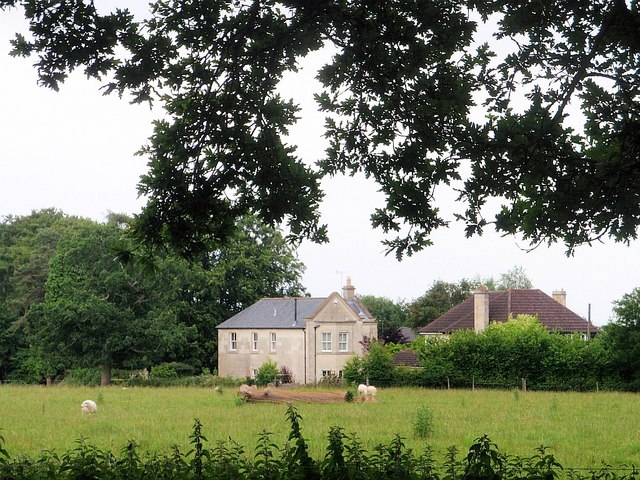
Image: © Derek Harper Taken: 1 Jul 2008
From the Bath Skyline Walk, a view past sheep grazing around a fallen tree-trunk, to housing on the southeast side of Claverton Down.
Images are licensed for reuse under creativecommons.org/licenses/by-sa/2.0
Image Location
Latitude
51.367597
Longitude
-2.322723