The Royal Albion public house
Introduction
The photograph on this page of The Royal Albion public house by Andy Potter as part of the Geograph project.
The Geograph project started in 2005 with the aim of publishing, organising and preserving representative images for every square kilometre of Great Britain, Ireland and the Isle of Man.

There are currently over 7.5m images from over 14,400 individuals and you can help contribute to the project by visiting https://www.geograph.org.uk
The Royal Albion public house
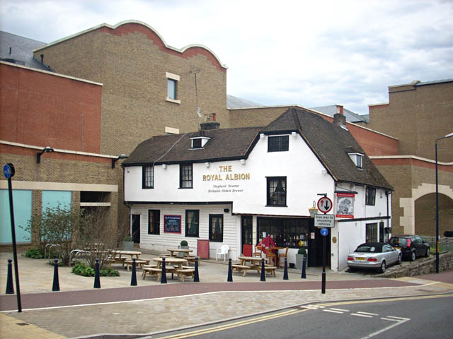
Image: © Andy Potter Taken: 31 Aug 2008
Seen from outside of Image in St Faiths Street. Havelock Street used to pass across the front of this pub leading to Museum street, both of which were erased by the redevelopment of the Fremlins brewery site.
Images are licensed for reuse under creativecommons.org/licenses/by-sa/2.0
Image Location
Latitude
51.275556
Longitude
0.519894