Thatcham Reedbeds Nature Reserve
Introduction
The photograph on this page of Thatcham Reedbeds Nature Reserve by Pam Brophy as part of the Geograph project.
The Geograph project started in 2005 with the aim of publishing, organising and preserving representative images for every square kilometre of Great Britain, Ireland and the Isle of Man.

There are currently over 7.5m images from over 14,400 individuals and you can help contribute to the project by visiting https://www.geograph.org.uk
Thatcham Reedbeds Nature Reserve
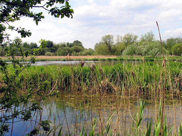
Image: © Pam Brophy Taken: 13 May 2005
This picture was taken from next to the bird hide in the nature reserve, looking more or less west across the very small pond which is not marked on the OS Map, but is marked on the Reserve's Map. The pond lies between the stream and the path, in the north eastern section of the grid square.
Images are licensed for reuse under creativecommons.org/licenses/by-sa/2.0
Image Location


Leaflet Map data © OpenStreetMap
Latitude
51.395385
Longitude
-1.289907