Pharaoh's Island
Introduction
The photograph on this page of Pharaoh's Island by Graham Horn as part of the Geograph project.
The Geograph project started in 2005 with the aim of publishing, organising and preserving representative images for every square kilometre of Great Britain, Ireland and the Isle of Man.

There are currently over 7.5m images from over 14,400 individuals and you can help contribute to the project by visiting https://www.geograph.org.uk
Pharaoh's Island
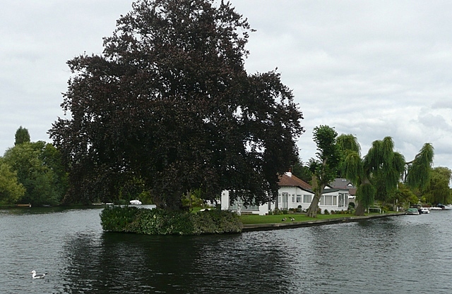
Image: © Graham Horn Taken: 24 Aug 2008
One of the many mid-stream aits or islands, that have houses on them. There are about 20 on Pharaoh's Island, cut off from the mainland except by boat and very vulnerable to flooding as can be seen here.
Images are licensed for reuse under creativecommons.org/licenses/by-sa/2.0
Image Location
Latitude
51.381842
Longitude
-0.466735