Pasture by the A404
Introduction
The photograph on this page of Pasture by the A404 by David Hawgood as part of the Geograph project.
The Geograph project started in 2005 with the aim of publishing, organising and preserving representative images for every square kilometre of Great Britain, Ireland and the Isle of Man.

There are currently over 7.5m images from over 14,400 individuals and you can help contribute to the project by visiting https://www.geograph.org.uk
Pasture by the A404
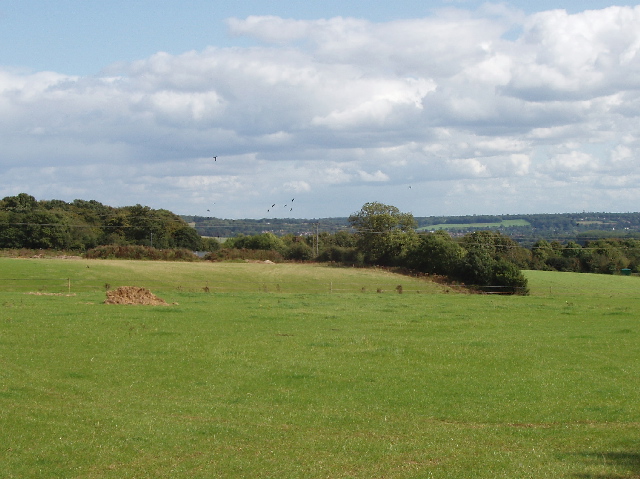
Image: © David Hawgood Taken: 3 Sep 2008
View from road beside the Three Horseshoes pub at Burroughs Grove. The hedge across the photo is along the A404 from High Wycombe to Marlow and the M4 motorway.
Images are licensed for reuse under creativecommons.org/licenses/by-sa/2.0
Image Location
Latitude
51.593884
Longitude
-0.764656