The Meadows, Nottingham
Introduction
The photograph on this page of The Meadows, Nottingham by Oxymoron as part of the Geograph project.
The Geograph project started in 2005 with the aim of publishing, organising and preserving representative images for every square kilometre of Great Britain, Ireland and the Isle of Man.

There are currently over 7.5m images from over 14,400 individuals and you can help contribute to the project by visiting https://www.geograph.org.uk
The Meadows, Nottingham
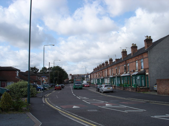
Image: © Oxymoron Taken: 3 Sep 2008
The Meadows area was extensively redeveloped in the 70s, with large swathes of old housing being demolished. Some of the older housing was, however, retained, and this street scene shows the old meeting the new, with the older houses on the right-hand side of the road, and the newer on the left.
Images are licensed for reuse under creativecommons.org/licenses/by-sa/2.0
Image Location
Latitude
52.939617
Longitude
-1.140948