Heading uphill into Maryhill Park
Introduction
The photograph on this page of Heading uphill into Maryhill Park by Lairich Rig as part of the Geograph project.
The Geograph project started in 2005 with the aim of publishing, organising and preserving representative images for every square kilometre of Great Britain, Ireland and the Isle of Man.

There are currently over 7.5m images from over 14,400 individuals and you can help contribute to the project by visiting https://www.geograph.org.uk
Heading uphill into Maryhill Park
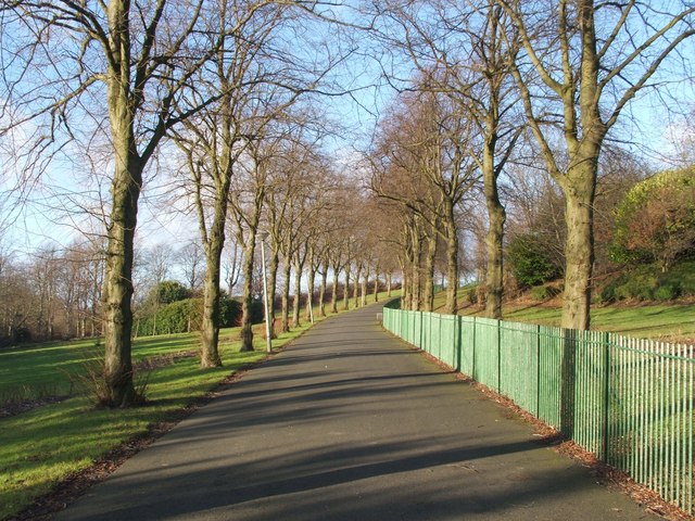
Image: © Lairich Rig Taken: 16 Dec 2005
This footpath leads from Maryhill Road up to the park; a trig point ( http://www.geograph.org.uk/photo/1517261 ) is located there, with good views towards Dumgoyne and the Campsie Hills.
Images are licensed for reuse under creativecommons.org/licenses/by-sa/2.0
Image Location
Latitude
55.900368
Longitude
-4.303259