The Cut by Bray Marina
Introduction
The photograph on this page of The Cut by Bray Marina by Graham Horn as part of the Geograph project.
The Geograph project started in 2005 with the aim of publishing, organising and preserving representative images for every square kilometre of Great Britain, Ireland and the Isle of Man.

There are currently over 7.5m images from over 14,400 individuals and you can help contribute to the project by visiting https://www.geograph.org.uk
The Cut by Bray Marina
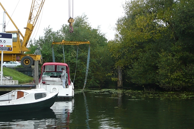
Image: © Graham Horn Taken: 24 Aug 2008
This is the mouth of The Cut, an artificial channel into the centre of Maidenhead for which there are plans to make navigable. Adjacent is just a small part of the huge Bray Marina.
Images are licensed for reuse under creativecommons.org/licenses/by-sa/2.0
Image Location
Latitude
51.498929
Longitude
-0.681937