Roby Road (A5080)
Introduction
The photograph on this page of Roby Road (A5080) by Sue Adair as part of the Geograph project.
The Geograph project started in 2005 with the aim of publishing, organising and preserving representative images for every square kilometre of Great Britain, Ireland and the Isle of Man.

There are currently over 7.5m images from over 14,400 individuals and you can help contribute to the project by visiting https://www.geograph.org.uk
Roby Road (A5080)
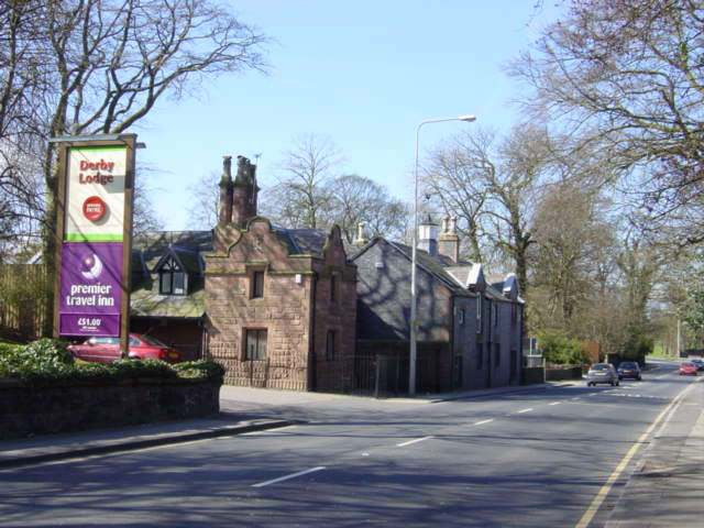
Image: © Sue Adair Taken: 5 Apr 2006
Originally a Norse settlement, Roby appears in the Domesday Book as 'Rabil', which means boundary farm. In 1726 this road became a turnpike road between Liverpool and Prescot bringing an increasing volume of traffic through the township, one of the original toll cottages still stands. The construction of the Liverpool - Manchester railway attracted new housing developments, including Edenhurst which is now The Derby Lodge Hotel, the gatelodge of which can be seen here.
Images are licensed for reuse under creativecommons.org/licenses/by-sa/2.0
Image Location
Latitude
53.40892
Longitude
-2.861628