House at Cookham
Introduction
The photograph on this page of House at Cookham by Graham Horn as part of the Geograph project.
The Geograph project started in 2005 with the aim of publishing, organising and preserving representative images for every square kilometre of Great Britain, Ireland and the Isle of Man.

There are currently over 7.5m images from over 14,400 individuals and you can help contribute to the project by visiting https://www.geograph.org.uk
House at Cookham
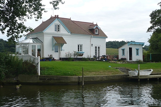
Image: © Graham Horn Taken: 23 Aug 2008
There is a row of very modest houses, technically part of Cookham, adjacent to the Thames here. The towpath is on the other bank so these are particularly inaccessible by land.
Images are licensed for reuse under creativecommons.org/licenses/by-sa/2.0
Image Location


Leaflet Map data © OpenStreetMap
Latitude
51.575538
Longitude
-0.730664