Temple Lock Island
Introduction
The photograph on this page of Temple Lock Island by Graham Horn as part of the Geograph project.
The Geograph project started in 2005 with the aim of publishing, organising and preserving representative images for every square kilometre of Great Britain, Ireland and the Isle of Man.

There are currently over 7.5m images from over 14,400 individuals and you can help contribute to the project by visiting https://www.geograph.org.uk
Temple Lock Island
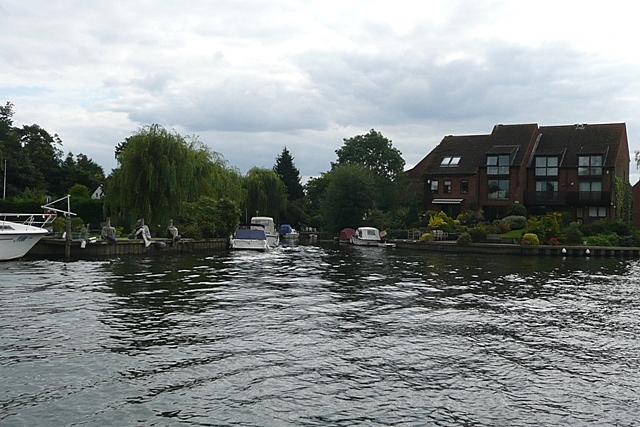
Image: © Graham Horn Taken: 23 Aug 2008
The apartments on the right are on the lock island. One of the weir streams comes back in below the lock in the centre of the picture. To the left is the "mainland".
Images are licensed for reuse under creativecommons.org/licenses/by-sa/2.0
Image Location
Latitude
51.553297
Longitude
-0.787247