Unmanned Crossing
Introduction
The photograph on this page of Unmanned Crossing by Stan Wray as part of the Geograph project.
The Geograph project started in 2005 with the aim of publishing, organising and preserving representative images for every square kilometre of Great Britain, Ireland and the Isle of Man.

There are currently over 7.5m images from over 14,400 individuals and you can help contribute to the project by visiting https://www.geograph.org.uk
Unmanned Crossing
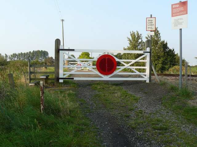
Image: © Stan Wray Taken: 30 Aug 2008
Unmanned level crossing linking Silt Road to Badgeney End. Smashed my head on this gate whilst swinging on it as a child.
Images are licensed for reuse under creativecommons.org/licenses/by-sa/2.0
Image Location
Latitude
52.549478
Longitude
0.106529