Totnes rowing club
Introduction
The photograph on this page of Totnes rowing club by jeff collins as part of the Geograph project.
The Geograph project started in 2005 with the aim of publishing, organising and preserving representative images for every square kilometre of Great Britain, Ireland and the Isle of Man.

There are currently over 7.5m images from over 14,400 individuals and you can help contribute to the project by visiting https://www.geograph.org.uk
Totnes rowing club
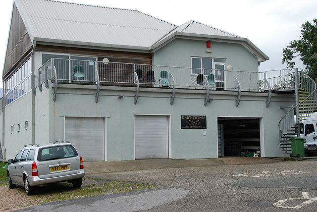
Image: © jeff collins Taken: 31 Aug 2008
The clubhouse is situated past Steamer Quay, and opposite Baltic Wharf.
Images are licensed for reuse under creativecommons.org/licenses/by-sa/2.0
Image Location
Latitude
50.425221
Longitude
-3.678318