Above the tunnel
Introduction
The photograph on this page of Above the tunnel by Peter Whatley as part of the Geograph project.
The Geograph project started in 2005 with the aim of publishing, organising and preserving representative images for every square kilometre of Great Britain, Ireland and the Isle of Man.

There are currently over 7.5m images from over 14,400 individuals and you can help contribute to the project by visiting https://www.geograph.org.uk
Above the tunnel
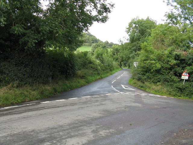
Image: © Peter Whatley Taken: 2 Sep 2008
Assuming the OS maps to be accurate, drilling down from this lane junction above Ledbury will lead directly to the railway tunnel under the Oyster Hills.
Images are licensed for reuse under creativecommons.org/licenses/by-sa/2.0
Image Location


Leaflet Map data © OpenStreetMap
Latitude
52.044875
Longitude
-2.417108