Birnie Kirk
Introduction
The photograph on this page of Birnie Kirk by Andrew Wood as part of the Geograph project.
The Geograph project started in 2005 with the aim of publishing, organising and preserving representative images for every square kilometre of Great Britain, Ireland and the Isle of Man.

There are currently over 7.5m images from over 14,400 individuals and you can help contribute to the project by visiting https://www.geograph.org.uk
Birnie Kirk
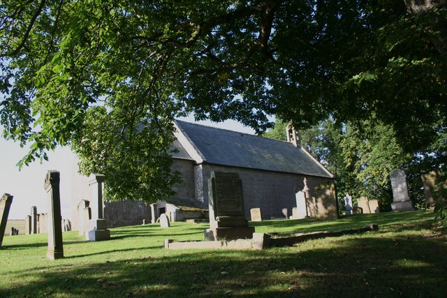
Image: © Andrew Wood Taken: 2 Sep 2008
Founded in 1140 Birnie Kirk was an important part of the early church in Moray. Its circular raised churchyard suggests even earlier Celtic origins.
Images are licensed for reuse under creativecommons.org/licenses/by-sa/2.0
Image Location


Leaflet Map data © OpenStreetMap
Latitude
57.611733
Longitude
-3.329589