Chocolate Island
Introduction
The photograph on this page of Chocolate Island by Graham Horn as part of the Geograph project.
The Geograph project started in 2005 with the aim of publishing, organising and preserving representative images for every square kilometre of Great Britain, Ireland and the Isle of Man.

There are currently over 7.5m images from over 14,400 individuals and you can help contribute to the project by visiting https://www.geograph.org.uk
Chocolate Island
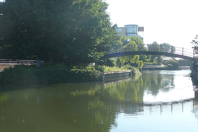
Image: © Graham Horn Taken: 23 Aug 2008
The bridge goes across from the one-time Huntley and Palmers site to the right to Chocolate Island on the left also part of the former H&P site. Probably named because this is where the chocolate crumb was stored.
Images are licensed for reuse under creativecommons.org/licenses/by-sa/2.0
Image Location
Latitude
51.456146
Longitude
-0.961243