Houses beneath Coed Abergele
Introduction
The photograph on this page of Houses beneath Coed Abergele by Jonathan Wilkins as part of the Geograph project.
The Geograph project started in 2005 with the aim of publishing, organising and preserving representative images for every square kilometre of Great Britain, Ireland and the Isle of Man.

There are currently over 7.5m images from over 14,400 individuals and you can help contribute to the project by visiting https://www.geograph.org.uk
Houses beneath Coed Abergele
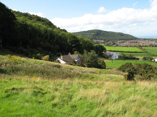
Image: © Jonathan Wilkins Taken: 2 Sep 2008
A steep road climbs the hill beneath the wooded slopes of Coed Abergele. The distant view is of the Gopa Woods Image over the town.
Images are licensed for reuse under creativecommons.org/licenses/by-sa/2.0
Image Location
Latitude
53.273351
Longitude
-3.568671