Old field wall, Rastrick Common, Rastrick
Introduction
The photograph on this page of Old field wall, Rastrick Common, Rastrick by Humphrey Bolton as part of the Geograph project.
The Geograph project started in 2005 with the aim of publishing, organising and preserving representative images for every square kilometre of Great Britain, Ireland and the Isle of Man.

There are currently over 7.5m images from over 14,400 individuals and you can help contribute to the project by visiting https://www.geograph.org.uk
Old field wall, Rastrick Common, Rastrick
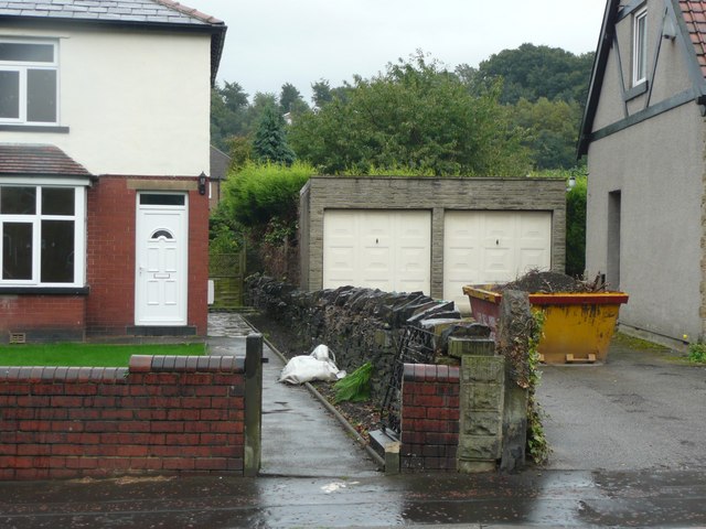
Image: © Humphrey Bolton Taken: 1 Sep 2008
When recording the suburbs, one tends to look up the cul-de-sacs as in this image of Sunnydale Avenue Image, but the in-between boundaries can also be interesting, as here we have (presumably) the dry-stone wall between the fields Middle Scholey on the left and Croft on the right.
Images are licensed for reuse under creativecommons.org/licenses/by-sa/2.0
Image Location


Leaflet Map data © OpenStreetMap
Latitude
53.69156
Longitude
-1.787954