Footpath off Stratton Park, Rastrick
Introduction
The photograph on this page of Footpath off Stratton Park, Rastrick by Humphrey Bolton as part of the Geograph project.
The Geograph project started in 2005 with the aim of publishing, organising and preserving representative images for every square kilometre of Great Britain, Ireland and the Isle of Man.

There are currently over 7.5m images from over 14,400 individuals and you can help contribute to the project by visiting https://www.geograph.org.uk
Footpath off Stratton Park, Rastrick
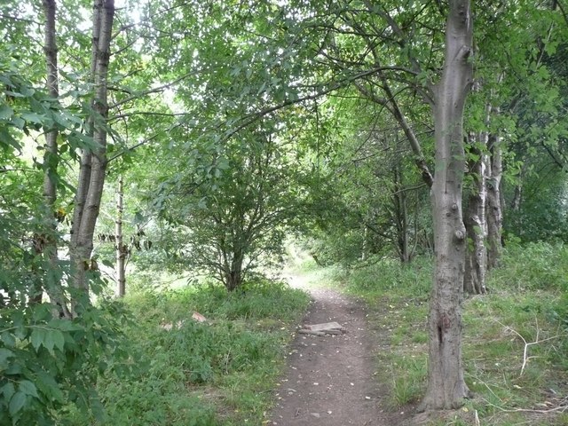
Image: © Humphrey Bolton Taken: 1 Sep 2008
This is the top end of the path up from Lords Lane Image, which originally just led to Round Wood and adjacent fields, but now connects to the Stratton Park and Stratton Road housing estates.
Images are licensed for reuse under creativecommons.org/licenses/by-sa/2.0
Image Location
Latitude
53.696035
Longitude
-1.77733