Bungalows in Fennels Way
Introduction
The photograph on this page of Bungalows in Fennels Way by David Hawgood as part of the Geograph project.
The Geograph project started in 2005 with the aim of publishing, organising and preserving representative images for every square kilometre of Great Britain, Ireland and the Isle of Man.

There are currently over 7.5m images from over 14,400 individuals and you can help contribute to the project by visiting https://www.geograph.org.uk
Bungalows in Fennels Way
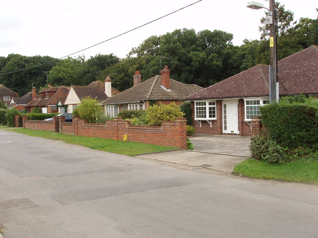
Image: © David Hawgood Taken: 29 Aug 2008
At its junction with Swains Lane, Fennels way is marked as being a private road.
Images are licensed for reuse under creativecommons.org/licenses/by-sa/2.0
Image Location


Leaflet Map data © OpenStreetMap
Latitude
51.60682
Longitude
-0.710788