On the site of the old abattoir in Swiss Valley
Introduction
The photograph on this page of On the site of the old abattoir in Swiss Valley by Deborah Tilley as part of the Geograph project.
The Geograph project started in 2005 with the aim of publishing, organising and preserving representative images for every square kilometre of Great Britain, Ireland and the Isle of Man.

There are currently over 7.5m images from over 14,400 individuals and you can help contribute to the project by visiting https://www.geograph.org.uk
On the site of the old abattoir in Swiss Valley
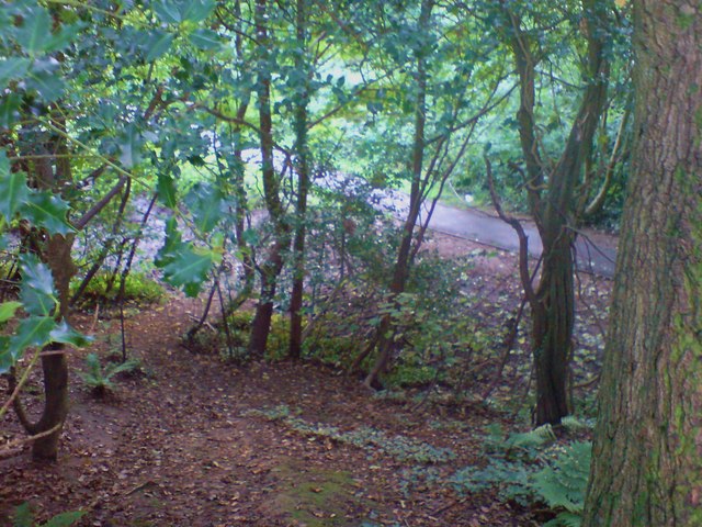
Image: © Deborah Tilley Taken: 31 Aug 2008
It is highly unlikely that many, if any of the inhabitants in the area would remember the abattoir that existed here in the late 1960's to early 1970's. The new housing development hadn't extended as far as here and many fields separated the houses and the slaughterhouse. Of course, children being children, as we were back then, knew the area inside out, unlike the adults. I don't remember if it was in use back then but what I do remember is how melancholy the whole area felt. The abattoir was situated in the area directly behind the place where the community centre is currently situated. It was positioned at the top of a steep slope above the stream, nestled amongst the trees.It was mainly stone built but I recall brick and concrete. There were stalls where the animals would have been housed prior to their demise. I roughly remembered where it had stood but was disorientated by the surrounding development so was very gratified when looking closer found the remains of wall bases covered with ivy and scattering of plant covered building rubble too big to have come from the building site. I've looked online for more information, but there is no mention of it. If anyone out there knows the history of the place I'd be very interested to know. I've classified it as a ruin but it's not even that any more.
Images are licensed for reuse under creativecommons.org/licenses/by-sa/2.0
Image Location
Latitude
51.70435
Longitude
-4.134244