Through the 'fairy glen'
Introduction
The photograph on this page of Through the 'fairy glen' by Deborah Tilley as part of the Geograph project.
The Geograph project started in 2005 with the aim of publishing, organising and preserving representative images for every square kilometre of Great Britain, Ireland and the Isle of Man.

There are currently over 7.5m images from over 14,400 individuals and you can help contribute to the project by visiting https://www.geograph.org.uk
Through the 'fairy glen'
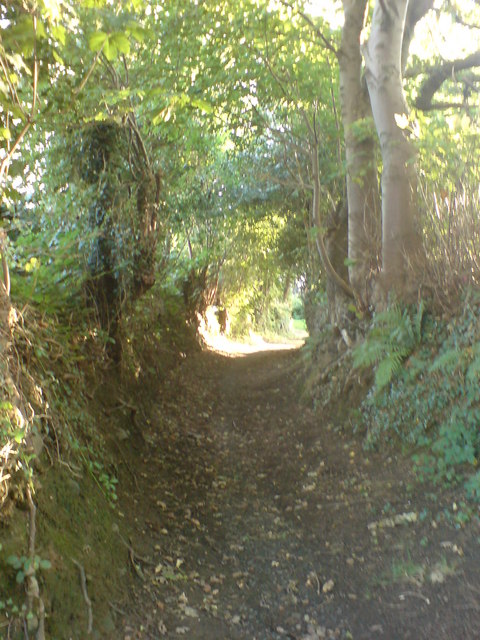
Image: © Deborah Tilley Taken: 31 Aug 2008
As we knew the area as children. To the right there used to be a stream, since piped in, which was a magnet for us children. We climbed trees and made swings across the water. It was an exciting place to grow up. Sadly the appeal has gone now that the stream has gone. The sense of adventure has been taken away and the area sanitised.
Images are licensed for reuse under creativecommons.org/licenses/by-sa/2.0
Image Location
Latitude
51.702543
Longitude
-4.134738