Sluice weir on the River Brent
Introduction
The photograph on this page of Sluice weir on the River Brent by Alan Murray-Rust as part of the Geograph project.
The Geograph project started in 2005 with the aim of publishing, organising and preserving representative images for every square kilometre of Great Britain, Ireland and the Isle of Man.

There are currently over 7.5m images from over 14,400 individuals and you can help contribute to the project by visiting https://www.geograph.org.uk
Sluice weir on the River Brent
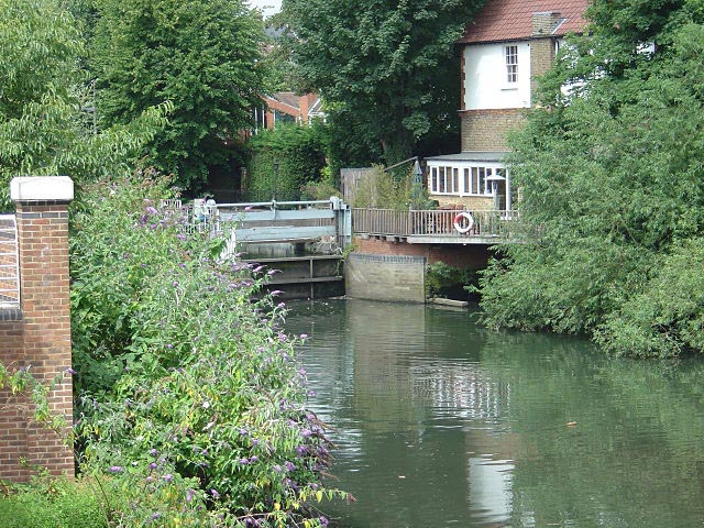
Image: © Alan Murray-Rust Taken: 23 Jul 2008
This is the sluice weir controlling the main flow of water through Brentford Basin and the Gauging Locks.
Images are licensed for reuse under creativecommons.org/licenses/by-sa/2.0
Image Location
Latitude
51.484085
Longitude
-0.309779