At the end of Llethri Road
Introduction
The photograph on this page of At the end of Llethri Road by Deborah Tilley as part of the Geograph project.
The Geograph project started in 2005 with the aim of publishing, organising and preserving representative images for every square kilometre of Great Britain, Ireland and the Isle of Man.

There are currently over 7.5m images from over 14,400 individuals and you can help contribute to the project by visiting https://www.geograph.org.uk
At the end of Llethri Road
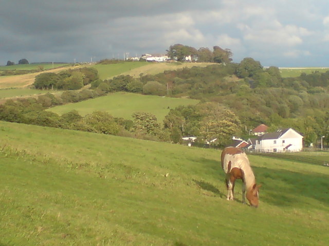
Image: © Deborah Tilley Taken: 31 Aug 2008
I always thought the farm here was very old but it doesn't appear on the 1940's old map. The farm known as Glyngwernan Uchaf is on the top of the hill and has panoramic views all around. In the trees at about (3 o'clock in the photo) is a disused quarry. It was a very scary place for children to play as it had a very eerie atmosphere and dangerous steep sides falling into deep black water below. We still played there - it had the best blackberry bushes for miles around!
Images are licensed for reuse under creativecommons.org/licenses/by-sa/2.0
Image Location
Latitude
51.703354
Longitude
-4.129711