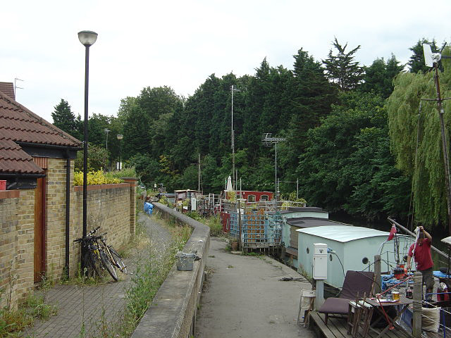
Canalside moorings, Brentford
Introduction
The photograph on this page of Canalside moorings, Brentford by Alan Murray-Rust as part of the Geograph project.
The Geograph project started in 2005 with the aim of publishing, organising and preserving representative images for every square kilometre of Great Britain, Ireland and the Isle of Man.
There are currently over 7.5m images from over 14,400 individuals and you can help contribute to the project by visiting https://www.geograph.org.uk

Image: © Alan Murray-Rust Taken: 23 Jul 2008
Some of the boats look as if they do not move from one year end to the next. Note also how the towpath has been divided by a wall to increase protection against flooding if the Thames should rise too high. The picture was taken from the point where the footpath actually crosses from one side of the wall to the other.

