Haythorne: Haythorn Cottage
Introduction
The photograph on this page of Haythorne: Haythorn Cottage by Chris Downer as part of the Geograph project.
The Geograph project started in 2005 with the aim of publishing, organising and preserving representative images for every square kilometre of Great Britain, Ireland and the Isle of Man.

There are currently over 7.5m images from over 14,400 individuals and you can help contribute to the project by visiting https://www.geograph.org.uk
Haythorne: Haythorn Cottage
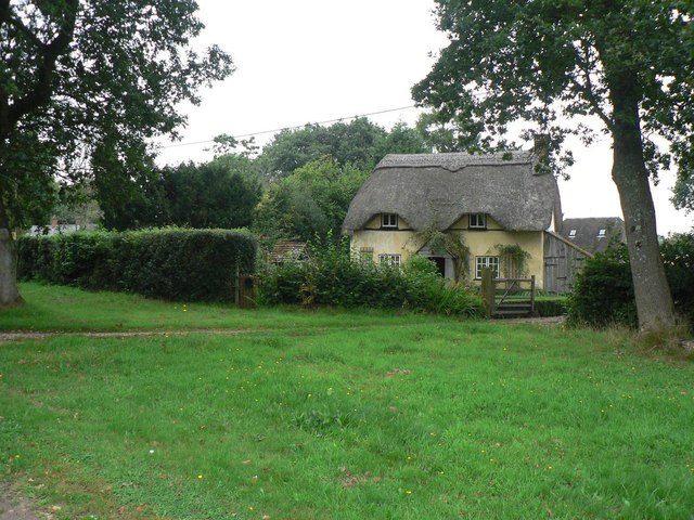
Image: © Chris Downer Taken: 31 Aug 2008
This attractive thatched cottage reflects the older spelling of the village name, going by previous editions of the Ordnance Survey map.
Images are licensed for reuse under creativecommons.org/licenses/by-sa/2.0
Image Location
Latitude
50.868701
Longitude
-1.946658