Cripplestyle: phone box and crossroads
Introduction
The photograph on this page of Cripplestyle: phone box and crossroads by Chris Downer as part of the Geograph project.
The Geograph project started in 2005 with the aim of publishing, organising and preserving representative images for every square kilometre of Great Britain, Ireland and the Isle of Man.

There are currently over 7.5m images from over 14,400 individuals and you can help contribute to the project by visiting https://www.geograph.org.uk
Cripplestyle: phone box and crossroads
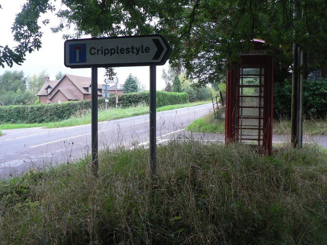
Image: © Chris Downer Taken: 31 Aug 2008
A red phone box at the crossroads in Cripplestyle, the signpost pointing down the lane to most of the village.
Images are licensed for reuse under creativecommons.org/licenses/by-sa/2.0
Image Location
Latitude
50.910727
Longitude
-1.871795