Barley Mow, Lewes Road, Selmeston
Introduction
The photograph on this page of Barley Mow, Lewes Road, Selmeston by Simon Carey as part of the Geograph project.
The Geograph project started in 2005 with the aim of publishing, organising and preserving representative images for every square kilometre of Great Britain, Ireland and the Isle of Man.

There are currently over 7.5m images from over 14,400 individuals and you can help contribute to the project by visiting https://www.geograph.org.uk
Barley Mow, Lewes Road, Selmeston
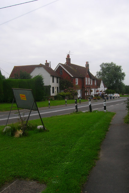
Image: © Simon Carey Taken: 29 Aug 2008
Taken from the junction with The Street. Old coaching inn on the current A27. The white weatherboarded dwelling next door is Forge Cottage.
Images are licensed for reuse under creativecommons.org/licenses/by-sa/2.0
Image Location
Latitude
50.839781
Longitude
0.137824