Bridleway Leading From Trowell Road
Introduction
The photograph on this page of Bridleway Leading From Trowell Road by Oxymoron as part of the Geograph project.
The Geograph project started in 2005 with the aim of publishing, organising and preserving representative images for every square kilometre of Great Britain, Ireland and the Isle of Man.

There are currently over 7.5m images from over 14,400 individuals and you can help contribute to the project by visiting https://www.geograph.org.uk
Bridleway Leading From Trowell Road
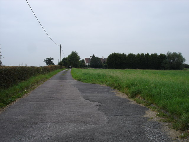
Image: © Oxymoron Taken: 30 Aug 2008
The tarmac ends at the house in the trees and this becomes a rutted footpath.
Images are licensed for reuse under creativecommons.org/licenses/by-sa/2.0
Image Location
Latitude
52.956945
Longitude
-1.257907