Bridleway to Selmeston
Introduction
The photograph on this page of Bridleway to Selmeston by Simon Carey as part of the Geograph project.
The Geograph project started in 2005 with the aim of publishing, organising and preserving representative images for every square kilometre of Great Britain, Ireland and the Isle of Man.

There are currently over 7.5m images from over 14,400 individuals and you can help contribute to the project by visiting https://www.geograph.org.uk
Bridleway to Selmeston
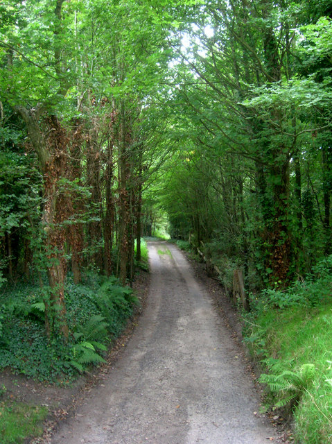
Image: © Simon Carey Taken: 29 Aug 2008
Forming part of a drive at this point. The bridleway links the church to Berwick. It also follows the course of an old Roman road that began at Pevensey Castle and eventually made its way to Chichester. The Roman road specialist Ivan Margary numbered this one 142.
Images are licensed for reuse under creativecommons.org/licenses/by-sa/2.0
Image Location
Latitude
50.841972
Longitude
0.145878