Track leading to Birkenside and The Knock Farms
Introduction
The photograph on this page of Track leading to Birkenside and The Knock Farms by James Denham as part of the Geograph project.
The Geograph project started in 2005 with the aim of publishing, organising and preserving representative images for every square kilometre of Great Britain, Ireland and the Isle of Man.

There are currently over 7.5m images from over 14,400 individuals and you can help contribute to the project by visiting https://www.geograph.org.uk
Track leading to Birkenside and The Knock Farms
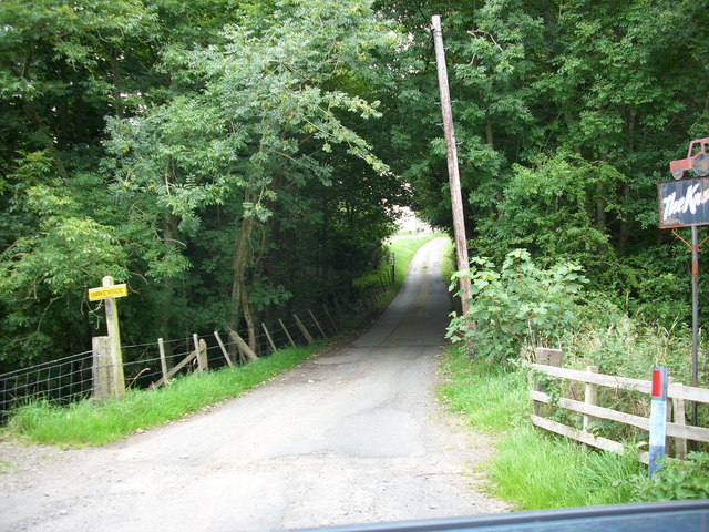
Image: © James Denham Taken: 29 Aug 2008
Situated off the B6365 near the Millburn Bridge
Images are licensed for reuse under creativecommons.org/licenses/by-sa/2.0
Image Location
Latitude
55.813153
Longitude
-2.378145