Holmes Chapel - Parkway
Introduction
The photograph on this page of Holmes Chapel - Parkway by Peter Whatley as part of the Geograph project.
The Geograph project started in 2005 with the aim of publishing, organising and preserving representative images for every square kilometre of Great Britain, Ireland and the Isle of Man.

There are currently over 7.5m images from over 14,400 individuals and you can help contribute to the project by visiting https://www.geograph.org.uk
Holmes Chapel - Parkway
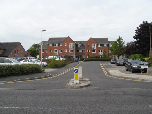
Image: © Peter Whatley Taken: 28 Aug 2008
Parkway's name is more appropriate now than when constructed, since its contemporary purpose is to provide access for car parking both public and private. The latter serves the McCarthy and Stone retirement flats prominent in this view. The flats replaced a former restaurant which had been derelict for some years.
Images are licensed for reuse under creativecommons.org/licenses/by-sa/2.0
Image Location
Latitude
53.200885
Longitude
-2.358641