Knighton Road, Leicester
Introduction
The photograph on this page of Knighton Road, Leicester by Kate Jewell as part of the Geograph project.
The Geograph project started in 2005 with the aim of publishing, organising and preserving representative images for every square kilometre of Great Britain, Ireland and the Isle of Man.

There are currently over 7.5m images from over 14,400 individuals and you can help contribute to the project by visiting https://www.geograph.org.uk
Knighton Road, Leicester
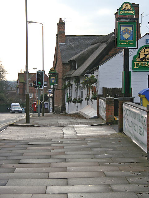
Image: © Kate Jewell Taken: 21 Dec 2005
In Knighton Village Conservation Area, the Cradock Arms is a thatched pub just to the south of Leicester city centre.
Images are licensed for reuse under creativecommons.org/licenses/by-sa/2.0
Image Location


Leaflet Map data © OpenStreetMap
Latitude
52.609068
Longitude
-1.117156