Mountfield and Coneygar Hill Millennium Green
Introduction
The photograph on this page of Mountfield and Coneygar Hill Millennium Green by Maurice D Budden as part of the Geograph project.
The Geograph project started in 2005 with the aim of publishing, organising and preserving representative images for every square kilometre of Great Britain, Ireland and the Isle of Man.

There are currently over 7.5m images from over 14,400 individuals and you can help contribute to the project by visiting https://www.geograph.org.uk
Mountfield and Coneygar Hill Millennium Green
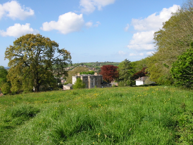
Image: © Maurice D Budden Taken: 9 May 2005
The Millennium Green comprises a comparatively formal area around the council offices at Mountfield, an area of woodland and this field, which is periodically grazed by cattle.
Images are licensed for reuse under creativecommons.org/licenses/by-sa/2.0
Image Location


Leaflet Map data © OpenStreetMap
Latitude
50.737321
Longitude
-2.753986