Burnhouse Farm and Mearns cemetery
Introduction
The photograph on this page of Burnhouse Farm and Mearns cemetery by Alan Murray Walsh as part of the Geograph project.
The Geograph project started in 2005 with the aim of publishing, organising and preserving representative images for every square kilometre of Great Britain, Ireland and the Isle of Man.

There are currently over 7.5m images from over 14,400 individuals and you can help contribute to the project by visiting https://www.geograph.org.uk
Burnhouse Farm and Mearns cemetery
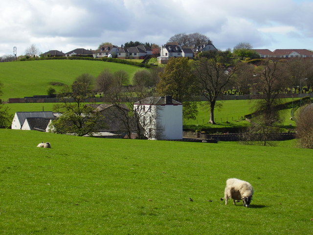
Image: © Alan Murray Walsh Taken: 19 Apr 2007
Background houses on Whitehill Grove and Old Humbie Road.
Images are licensed for reuse under creativecommons.org/licenses/by-sa/2.0
Image Location
Latitude
55.765665
Longitude
-4.311727