Quainton Baptist Chapel
Introduction
The photograph on this page of Quainton Baptist Chapel by Alan Murray-Rust as part of the Geograph project.
The Geograph project started in 2005 with the aim of publishing, organising and preserving representative images for every square kilometre of Great Britain, Ireland and the Isle of Man.

There are currently over 7.5m images from over 14,400 individuals and you can help contribute to the project by visiting https://www.geograph.org.uk
Quainton Baptist Chapel
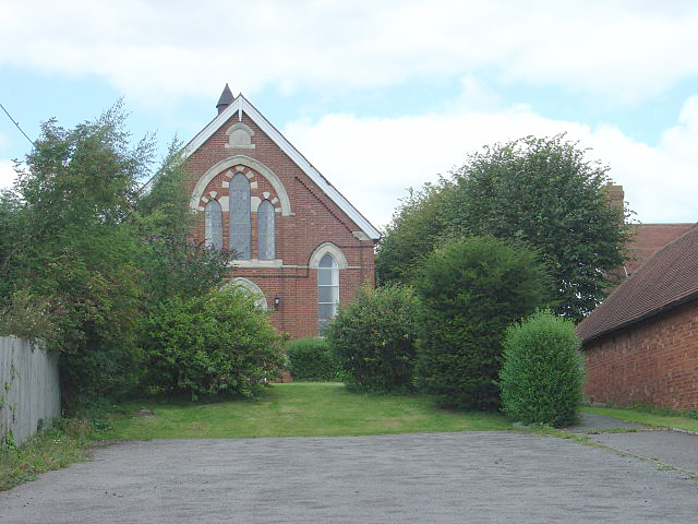
Image: © Alan Murray-Rust Taken: 23 Aug 2008
The notice board has had the name painted out so i was not certain whether it is still used as a chapel or has been converted for residential use.
Images are licensed for reuse under creativecommons.org/licenses/by-sa/2.0
Image Location


Leaflet Map data © OpenStreetMap
Latitude
51.87564
Longitude
-0.915581