Vickers Drive
Introduction
The photograph on this page of Vickers Drive by David Lally as part of the Geograph project.
The Geograph project started in 2005 with the aim of publishing, organising and preserving representative images for every square kilometre of Great Britain, Ireland and the Isle of Man.

There are currently over 7.5m images from over 14,400 individuals and you can help contribute to the project by visiting https://www.geograph.org.uk
Vickers Drive
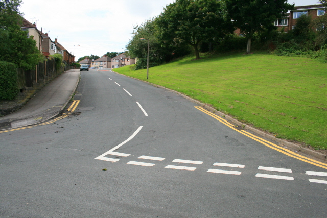
Image: © David Lally Taken: 25 Aug 2008
Formerly known as Rake Road - a name objected to by the residents about 30 years ago because of the association with tramps! Now that is suburbia for you! In the days when we had snow in the winter we used to sledge down here.
Images are licensed for reuse under creativecommons.org/licenses/by-sa/2.0
Image Location
Latitude
53.414897
Longitude
-1.449311