East Street looking West
Introduction
The photograph on this page of East Street looking West by Penny Mayes as part of the Geograph project.
The Geograph project started in 2005 with the aim of publishing, organising and preserving representative images for every square kilometre of Great Britain, Ireland and the Isle of Man.

There are currently over 7.5m images from over 14,400 individuals and you can help contribute to the project by visiting https://www.geograph.org.uk
East Street looking West
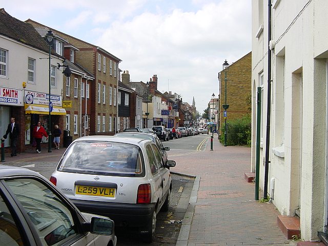
Image: © Penny Mayes Taken: 12 May 2005
Once part of the main A2 Watling Street this part of the town has been badly served by the town planners and has lost most of its passing trade since it became a one way street. The church visible in the distance is the United Reformed Church on the High Street.
Images are licensed for reuse under creativecommons.org/licenses/by-sa/2.0
Image Location


Leaflet Map data © OpenStreetMap
Latitude
51.338826
Longitude
0.74205