Descending to the Wansbeck Estuary
Introduction
The photograph on this page of Descending to the Wansbeck Estuary by Chris Heaton as part of the Geograph project.
The Geograph project started in 2005 with the aim of publishing, organising and preserving representative images for every square kilometre of Great Britain, Ireland and the Isle of Man.

There are currently over 7.5m images from over 14,400 individuals and you can help contribute to the project by visiting https://www.geograph.org.uk
Descending to the Wansbeck Estuary
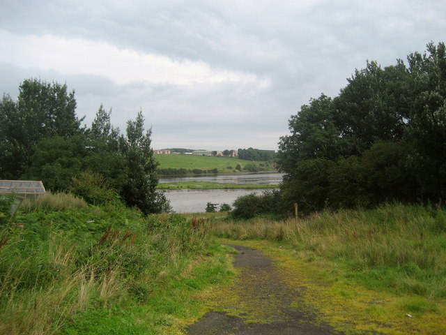
Image: © Chris Heaton Taken: 19 Aug 2008
Bridleway from West Sleekburn that descends to the River Wansbeck, before following its southern bank upstream.
Images are licensed for reuse under creativecommons.org/licenses/by-sa/2.0
Image Location


Leaflet Map data © OpenStreetMap
Latitude
55.163126
Longitude
-1.56268