Woodland track
Introduction
The photograph on this page of Woodland track by Jonathan Wilkins as part of the Geograph project.
The Geograph project started in 2005 with the aim of publishing, organising and preserving representative images for every square kilometre of Great Britain, Ireland and the Isle of Man.

There are currently over 7.5m images from over 14,400 individuals and you can help contribute to the project by visiting https://www.geograph.org.uk
Woodland track
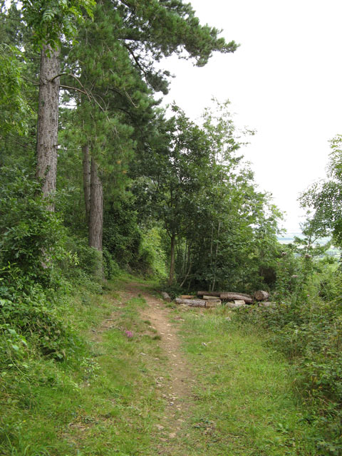
Image: © Jonathan Wilkins Taken: 22 Aug 2008
Small footpaths follow ledges on the hillside, many of them made for access to this once-commercial forestry. Now the area is access land and owned by Coed Cadw/Woodland Trust.
Images are licensed for reuse under creativecommons.org/licenses/by-sa/2.0
Image Location
Latitude
53.275609
Longitude
-3.594999