B6275 (Dere Street) north of Piercebridge, County Durham
Introduction
The photograph on this page of B6275 (Dere Street) north of Piercebridge, County Durham by Oliver Dixon as part of the Geograph project.
The Geograph project started in 2005 with the aim of publishing, organising and preserving representative images for every square kilometre of Great Britain, Ireland and the Isle of Man.

There are currently over 7.5m images from over 14,400 individuals and you can help contribute to the project by visiting https://www.geograph.org.uk
B6275 (Dere Street) north of Piercebridge, County Durham
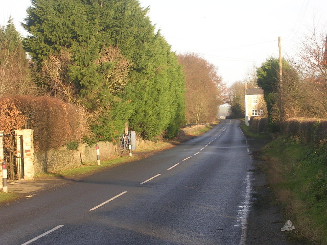
Image: © Oliver Dixon Taken: 19 Dec 2005
The B6275 is just one of several lengths of main road which follows the line of Dere Street, the old Roman road which links the Roman sites of Catterick, Piercebridge, Binchester, Lanchester and Ebchester.
Images are licensed for reuse under creativecommons.org/licenses/by-sa/2.0
Image Location


Leaflet Map data © OpenStreetMap
Latitude
54.540625
Longitude
-1.673842