Cockle Park Tower
Introduction
The photograph on this page of Cockle Park Tower by Pat Pierpoint as part of the Geograph project.
The Geograph project started in 2005 with the aim of publishing, organising and preserving representative images for every square kilometre of Great Britain, Ireland and the Isle of Man.

There are currently over 7.5m images from over 14,400 individuals and you can help contribute to the project by visiting https://www.geograph.org.uk
Cockle Park Tower
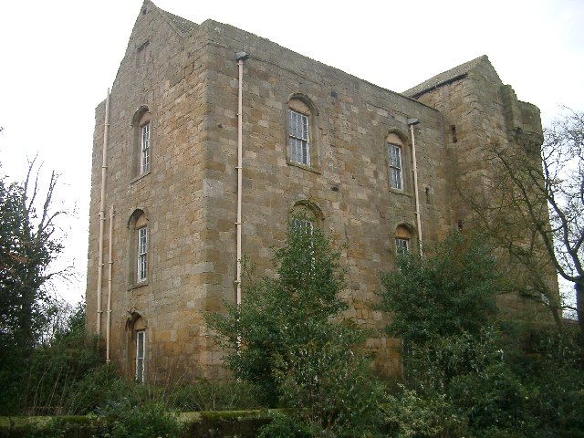
Image: © Pat Pierpoint Taken: 11 Nov 2004
The Newcastle University School of Agriculture, Food and Rural Development website has further information on the tower. http://www.ncl.ac.uk/afrd/business/cockle/cockle.htm
Images are licensed for reuse under creativecommons.org/licenses/by-sa/2.0
Image Location


Leaflet Map data © OpenStreetMap
Latitude
55.21374
Longitude
-1.687224