Recreational area, Bury St Edmunds
Introduction
The photograph on this page of Recreational area, Bury St Edmunds by Bob Jones as part of the Geograph project.
The Geograph project started in 2005 with the aim of publishing, organising and preserving representative images for every square kilometre of Great Britain, Ireland and the Isle of Man.

There are currently over 7.5m images from over 14,400 individuals and you can help contribute to the project by visiting https://www.geograph.org.uk
Recreational area, Bury St Edmunds
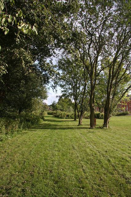
Image: © Bob Jones Taken: 19 Aug 2008
This newly-developed area is associated with new housing development at Belmont Road.
Images are licensed for reuse under creativecommons.org/licenses/by-sa/2.0
Image Location


Leaflet Map data © OpenStreetMap
Latitude
52.249642
Longitude
0.720381