Forfar / Kirriemuir Road at its junction with Ballindarg Road and Drumgley Road
Introduction
The photograph on this page of Forfar / Kirriemuir Road at its junction with Ballindarg Road and Drumgley Road by Alan Morrison as part of the Geograph project.
The Geograph project started in 2005 with the aim of publishing, organising and preserving representative images for every square kilometre of Great Britain, Ireland and the Isle of Man.

There are currently over 7.5m images from over 14,400 individuals and you can help contribute to the project by visiting https://www.geograph.org.uk
Forfar / Kirriemuir Road at its junction with Ballindarg Road and Drumgley Road
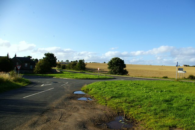
Image: © Alan Morrison Taken: 25 Aug 2007
Images are licensed for reuse under creativecommons.org/licenses/by-sa/2.0
Image Location


Leaflet Map data © OpenStreetMap
Latitude
56.653462
Longitude
-2.950852