West Street
Introduction
The photograph on this page of West Street by Simon Carey as part of the Geograph project.
The Geograph project started in 2005 with the aim of publishing, organising and preserving representative images for every square kilometre of Great Britain, Ireland and the Isle of Man.

There are currently over 7.5m images from over 14,400 individuals and you can help contribute to the project by visiting https://www.geograph.org.uk
West Street
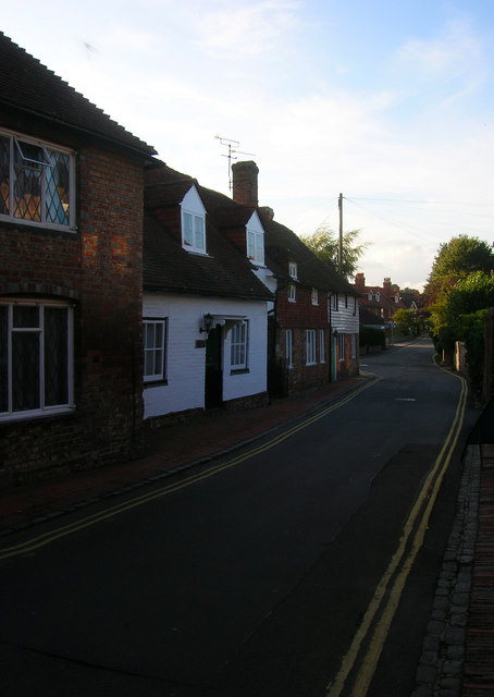
Image: © Simon Carey Taken: 24 Aug 2008
The former coach road to Lewes left Market Square then travelled along the foot of the Downs via Firle and Glynde before reaching its destination. The route was superseded by a turnpike that eventually became the A27 which bypassed the village by a number of miles.
Images are licensed for reuse under creativecommons.org/licenses/by-sa/2.0
Image Location
Latitude
50.808509
Longitude
0.155984