Backwell: Teague?s Colliery
Introduction
The photograph on this page of Backwell: Teague?s Colliery by Martin Bodman as part of the Geograph project.
The Geograph project started in 2005 with the aim of publishing, organising and preserving representative images for every square kilometre of Great Britain, Ireland and the Isle of Man.

There are currently over 7.5m images from over 14,400 individuals and you can help contribute to the project by visiting https://www.geograph.org.uk
Backwell: Teague?s Colliery
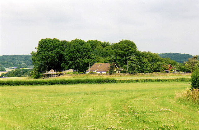
Image: © Martin Bodman Taken: 6 Jul 2003
The waste tip of an early 19th century coal mine on Backwell Common, now covered in trees. James Teague (1750-1818), its developer, was an ironmaster and owner of coal pits in the Forest of Dean. For further information see Ralph Anstis, The Industrial Teagues and the Forest of Dean, Allan Sutton, 1990. Seen from one of the numerous public footpaths in the parish
Images are licensed for reuse under creativecommons.org/licenses/by-sa/2.0
Image Location
Latitude
51.425755
Longitude
-2.742108