Penhwnllys Crossroads
Introduction
The photograph on this page of Penhwnllys Crossroads by Eric Jones as part of the Geograph project.
The Geograph project started in 2005 with the aim of publishing, organising and preserving representative images for every square kilometre of Great Britain, Ireland and the Isle of Man.

There are currently over 7.5m images from over 14,400 individuals and you can help contribute to the project by visiting https://www.geograph.org.uk
Penhwnllys Crossroads
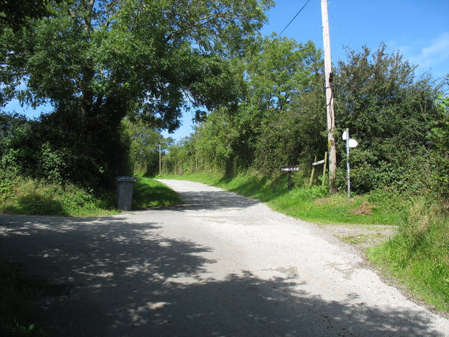
Image: © Eric Jones Taken: 22 Aug 2008
Here the tarred road north from Llanfaes turns sharply right. Two farm roads, from north and east, join the tarred road.
Images are licensed for reuse under creativecommons.org/licenses/by-sa/2.0
Image Location
Latitude
53.30318
Longitude
-4.106447