The Thames Path cycleway at Woolwich
Introduction
The photograph on this page of The Thames Path cycleway at Woolwich by Stephen Craven as part of the Geograph project.
The Geograph project started in 2005 with the aim of publishing, organising and preserving representative images for every square kilometre of Great Britain, Ireland and the Isle of Man.

There are currently over 7.5m images from over 14,400 individuals and you can help contribute to the project by visiting https://www.geograph.org.uk
The Thames Path cycleway at Woolwich
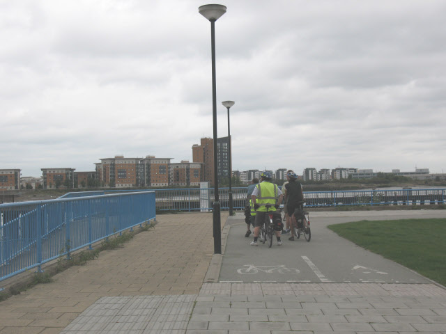
Image: © Stephen Craven Taken: 25 Aug 2008
Walkers and cyclists along the Thames Path can choose between two parallel routes for some distance eastward from this point - on top of the flood barrier (pictured) or down the ramp at the left of the picture and along the river bank.
Images are licensed for reuse under creativecommons.org/licenses/by-sa/2.0
Image Location
Latitude
51.496041
Longitude
0.076762