Savile Park Road
Introduction
The photograph on this page of Savile Park Road by Stanley Walker as part of the Geograph project.
The Geograph project started in 2005 with the aim of publishing, organising and preserving representative images for every square kilometre of Great Britain, Ireland and the Isle of Man.

There are currently over 7.5m images from over 14,400 individuals and you can help contribute to the project by visiting https://www.geograph.org.uk
Savile Park Road
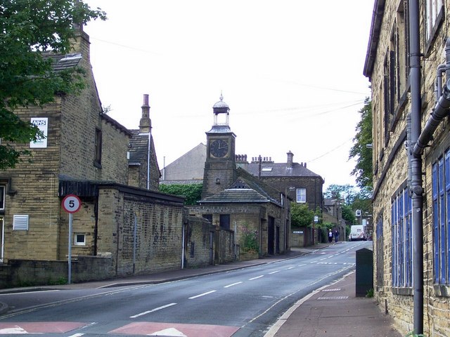
Image: © Stanley Walker Taken: 22 Aug 2008
The building to the left is Savile House and the clock looks to be part of the stable block the house is shared,one half used by the NHS the other privately owned and the building to the right is part of Savile Hall.
Images are licensed for reuse under creativecommons.org/licenses/by-sa/2.0
Image Location


Leaflet Map data © OpenStreetMap
Latitude
53.716753
Longitude
-1.869196